About Course
Course Overview:
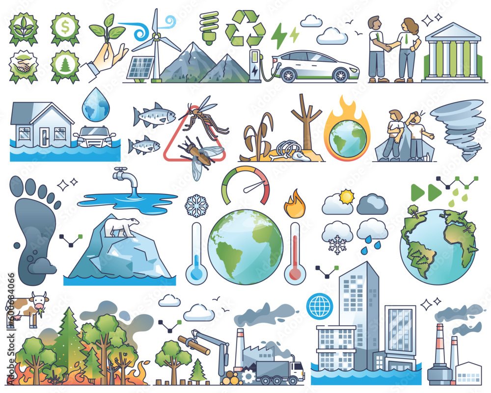
This course equips business leaders, planners, and infrastructure professionals with the theory, spatial methods, and practical tools necessary to identify, analyze, and map climate hazards and associated vulnerabilities that affect critical assets, operations, and investments. Participants will build a strong foundation in climate risk concepts and develop hands-on skills in hotspot and vulnerability mapping using real-world data and tools that support resilient decision-making and strategic planning.
Throughout the course, learners will explore how climate hazards such as floods, heatwaves, droughts, storms, and sea-level rise impact physical infrastructure and business continuity. They will then apply frameworks to assess exposure, sensitivity, and adaptive capacity of assets — integrating geographic information systems (GIS) and spatial analysis to visualize risk and identify priority areas for adaptation and mitigation. The final session bridges knowledge and action through applied tools, rapid mapping techniques, and a detailed case study, allowing participants to synthesize course learnings into a practical project.
Learning Outcomes
- How to identify and assess climate hazards, vulnerabilities, and exposure using hotspot and rapid mapping techniques.
- How to use tools like UNEP Strata, AMIA, CMRA, and Google Earth Pro to analyze climate risks and resilience gaps.
- How to interpret compound risks and trade-offs in adaptation planning.
Course Structure:
- Module 1: Climate Hazards
This session introduces participants to the science and context of climate change and climate hazards relevant to business continuity and infrastructure resilience. It covers how global and regional climate trends influence hazard frequency and severity, and how these physical processes translate into risks for built environments and economic systems. - Module 2: Hotspot & Vulnerability Mapping
Session 2 focuses on spatial analysis and mapping techniques used to identify geographic areas where climate hazards overlap with vulnerable assets and communities. Leveraging hotspot identification and vulnerability assessment frameworks, learners will explore how to quantify and visualize risk across scales, integrating environmental, socio-economic, and infrastructure data layers. - Module 3: Tools, Rapid Mapping & Case Study
The final session connects analytical knowledge with applied tools and rapid mapping workflows for climate risk assessment. Participants will gain familiarity with GIS platforms, remote sensing datasets, and cloud-based tools used for rapid hazard mapping and visualization. A structured case study enables professionals to apply their learning to a real or hypothetical business/infrastructure context.
Learning Mode and Assessment
Delivery Mode: Online, self-paced (approx. 3 hours total duration).
Assessment: Self-assessed learning with indicative answers provided.
Course Materials
The course includes:
- Lecture slides and recorded video lectures
- Applied case studies
- Knowledge-check quizzes
- Supplementary learning resources
Certification and Attribution
A Certificate of Completion is issued upon satisfactory completion of all modules.
Course Content
Course Overview
- 02:08